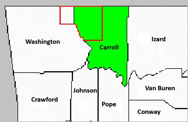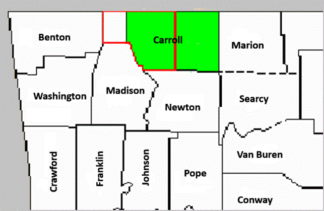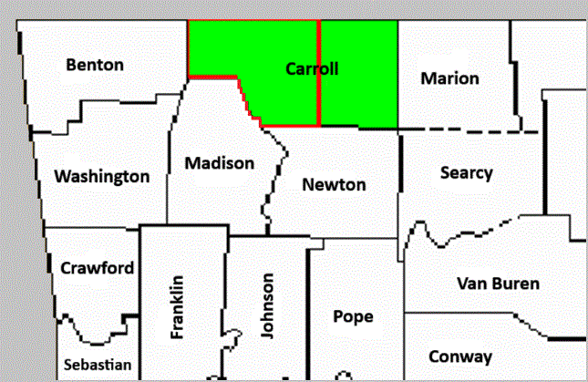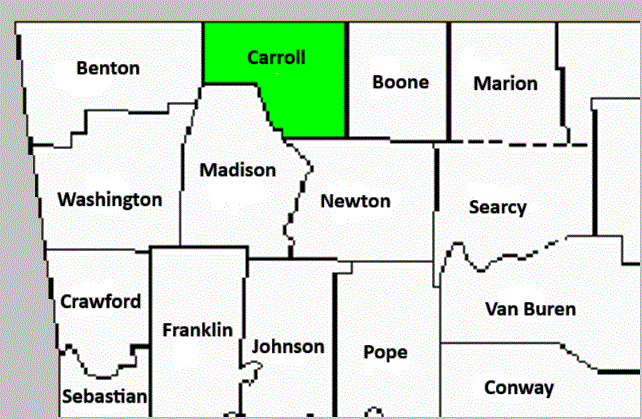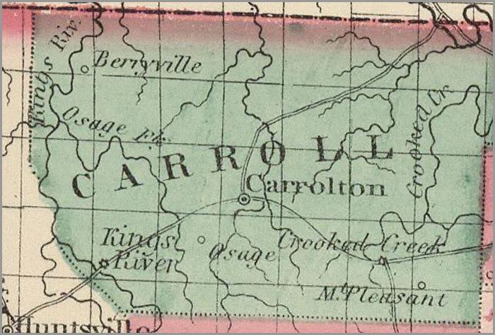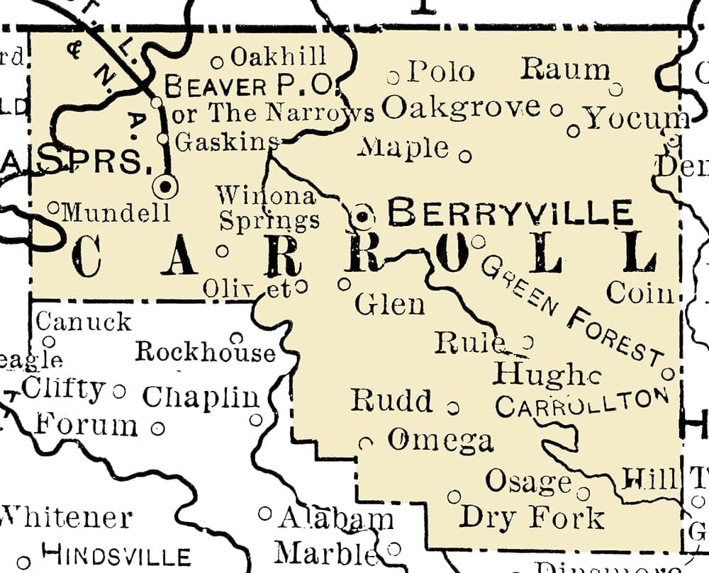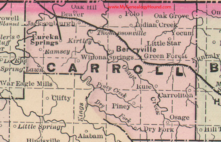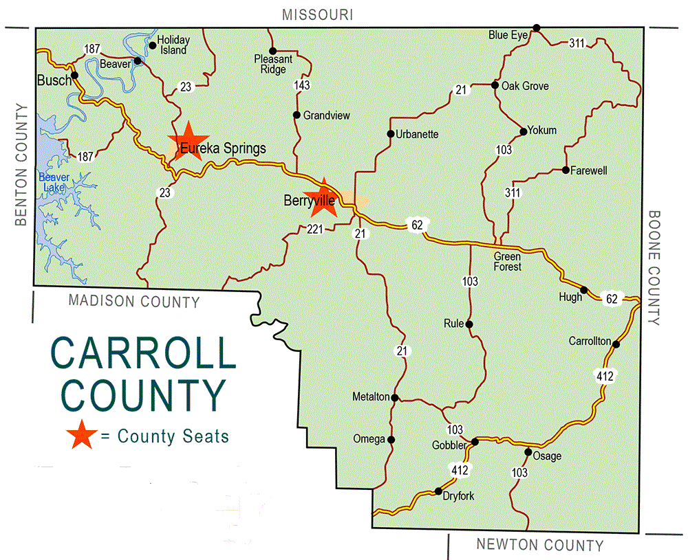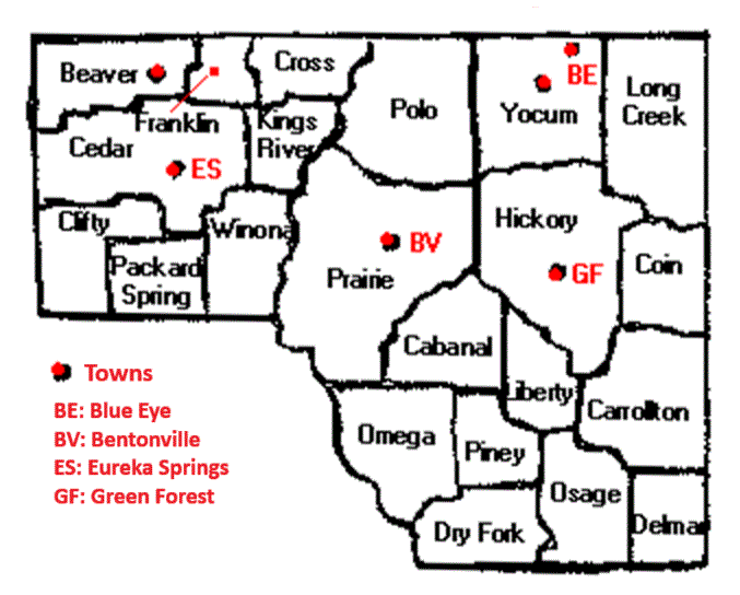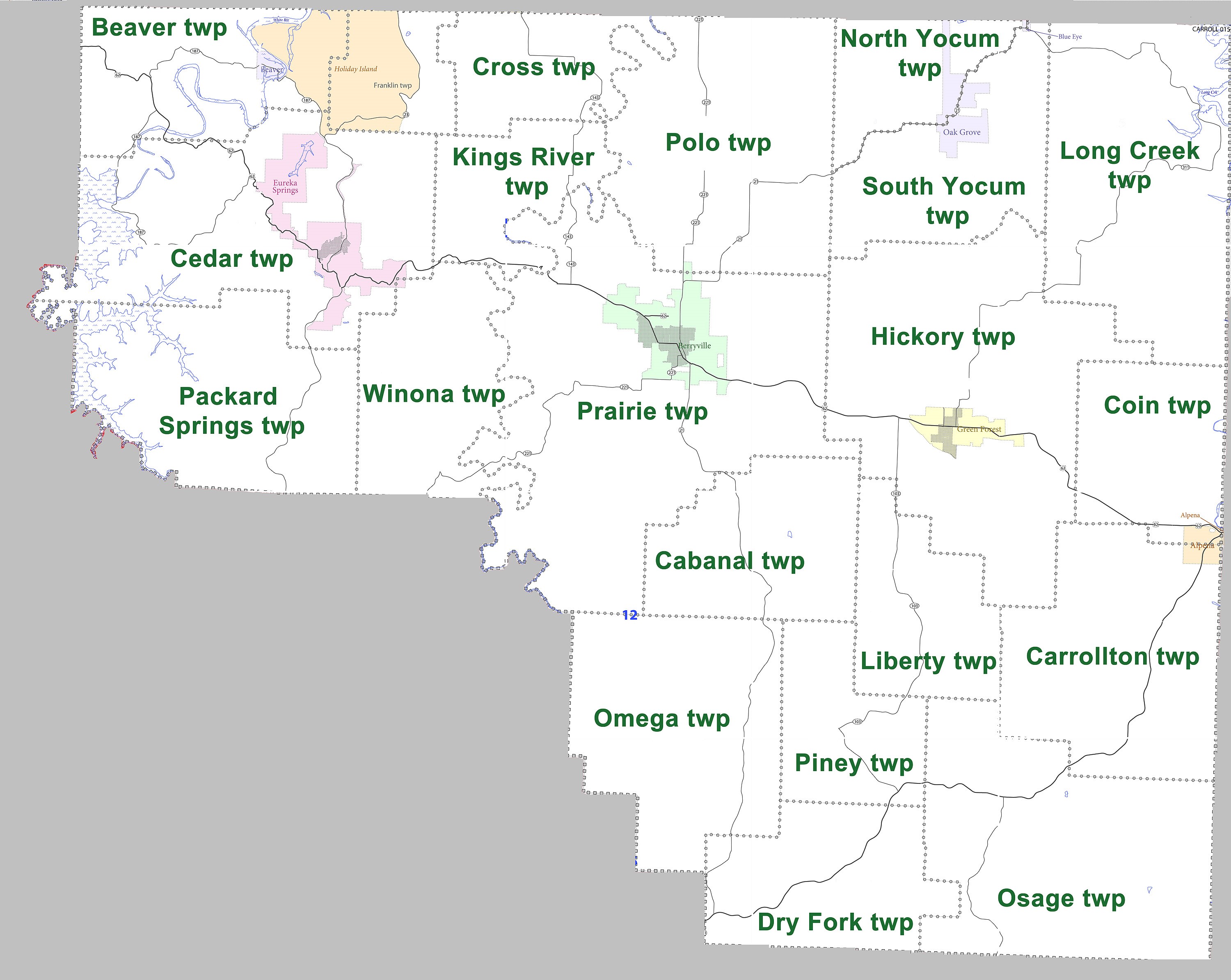
Maps have been scaled to fit. Click on a map to see a larger version.
Carroll was created from Izard County in the Arkansas TERRITORY 1833. Arkansas became a STATE on 15 Jun 1836. The current county boundaries are shown in RED until 1869 when the county boundaries approximated those of today.