

 After stopping at the visitor center, follow the arrows from the parking area to the Old Telegraph Road. Built in 1828 between Springfield, Mo., and Fayetteville, Ark., the road was part of the "Trail of Tears" that saw thousands of Cherokees and other American Indians forcibly relocated from their homes in Georgia and the Carolinas to Indian Territory in present-day Oklahoma. In 1858, the road became part of the Butterfield Overland Mail route to California. In 1860, a telegraph wire was strung along it. |
|
|
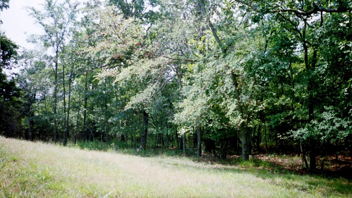
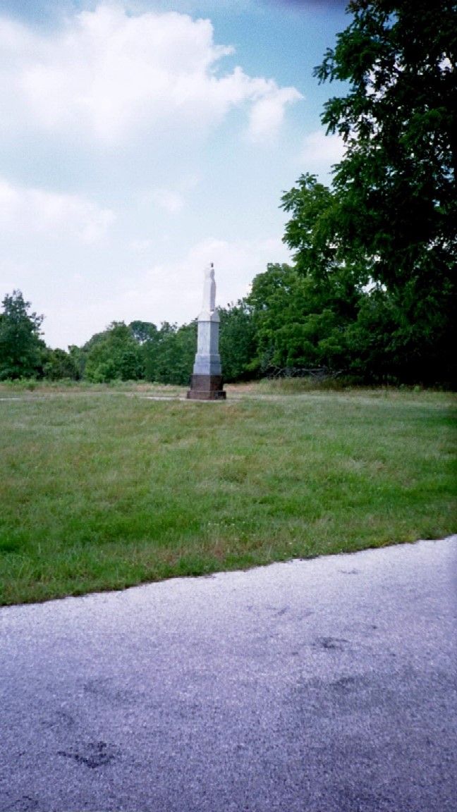
Stop 5: Pea Ridge West  From here the Boston Mountains are visible on the southern horizon. Bentonville, Arkansas, from which the Confederates advanced to Pea Ridge, is 14 miles to the west. |
 |
|
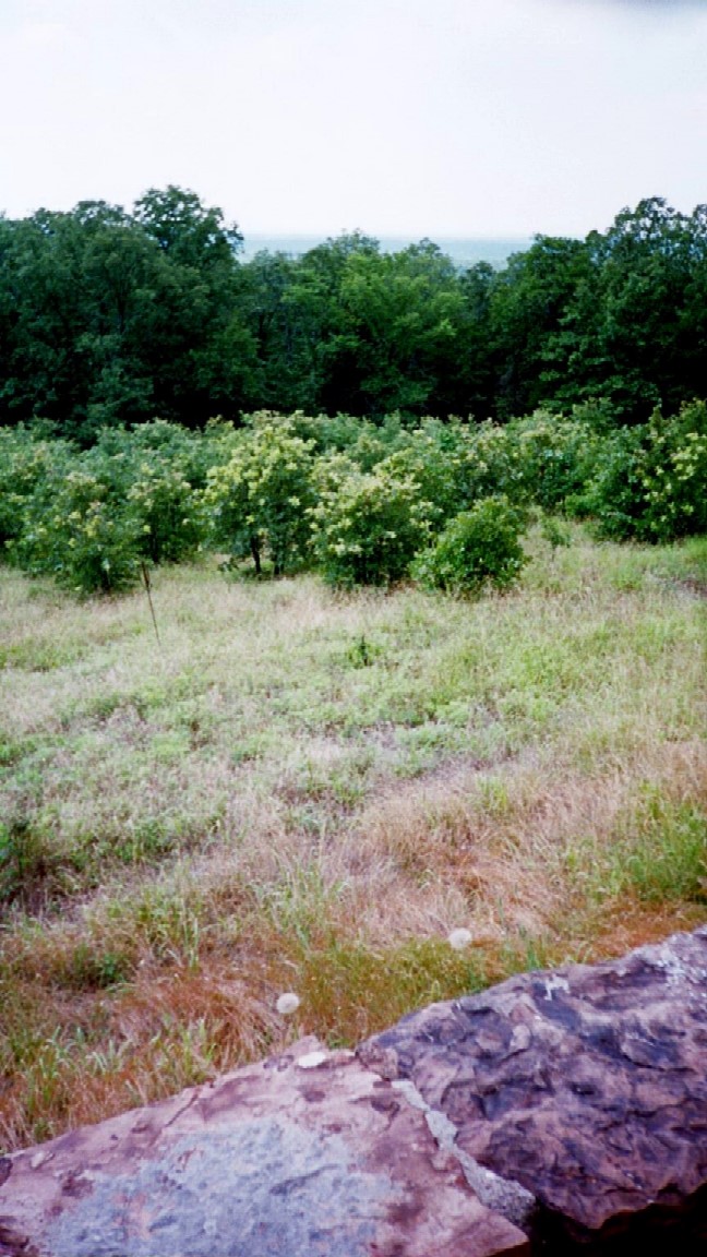
Stop 6: Pea Ridge East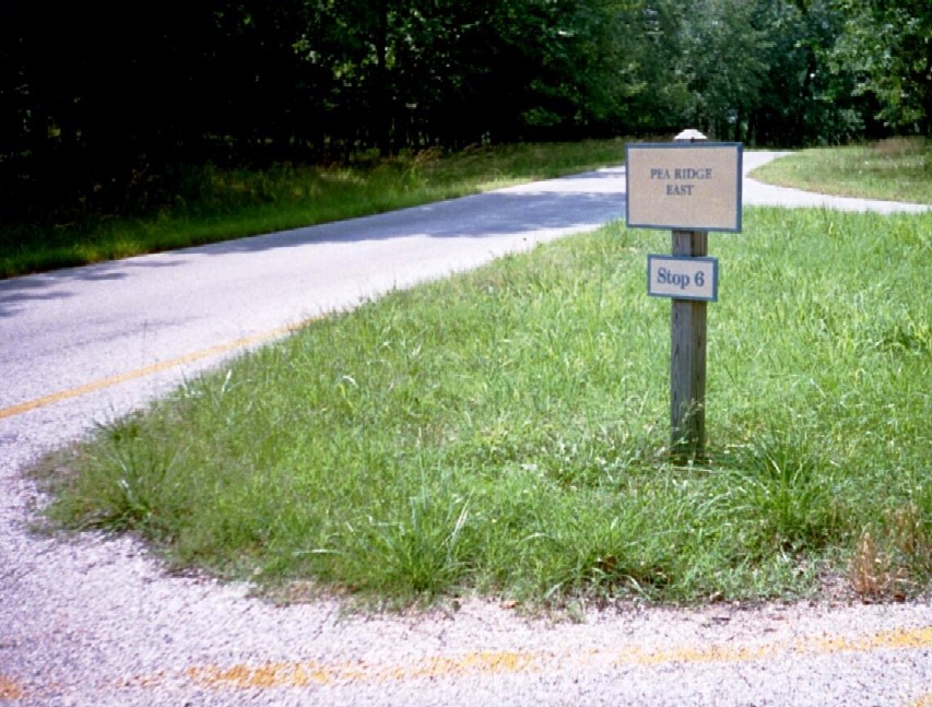 Here, about 150 yards down the path, is the best view of the battlefield in the park. |
|
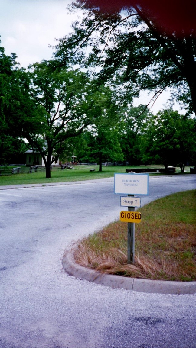
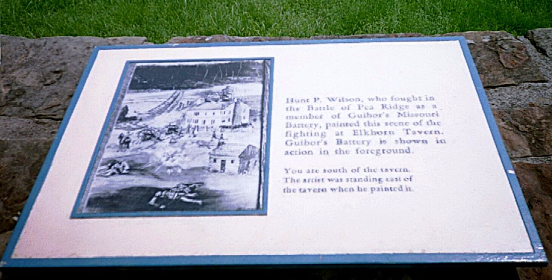
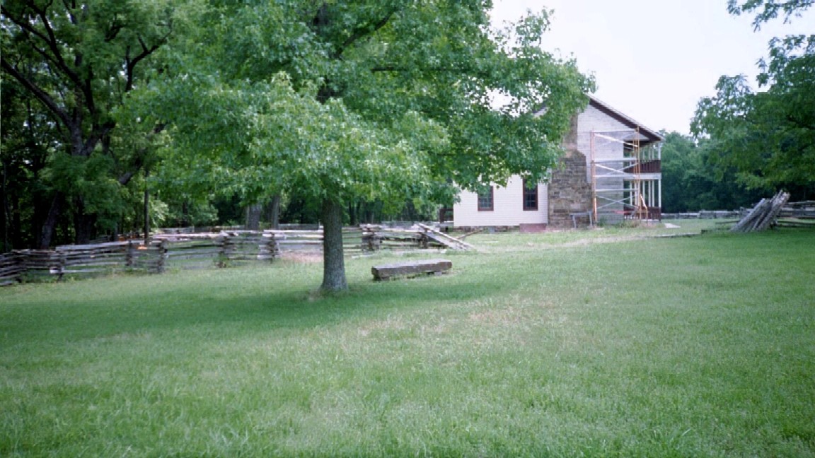
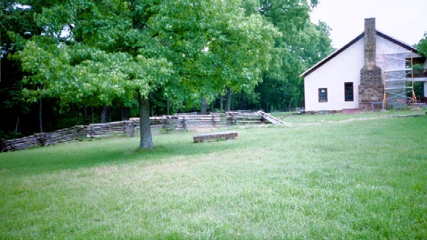
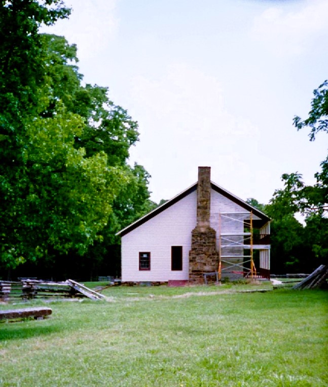
Stop 7 & 8: Elkhorn Tavern 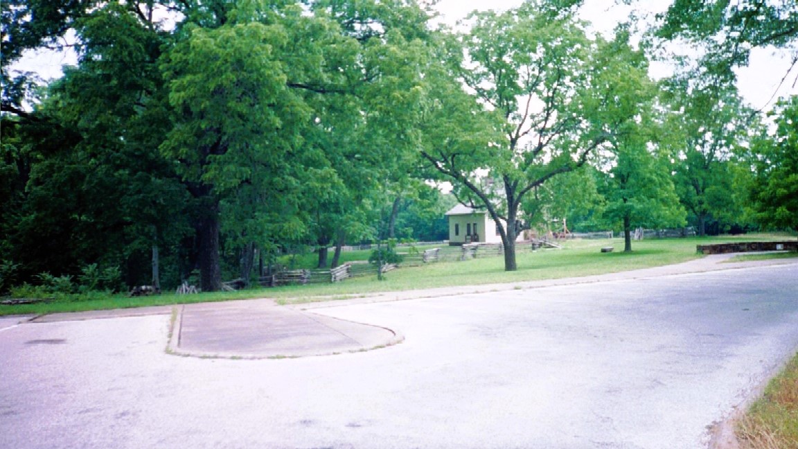
A landmark in this area for many years, the tavern was near the center of fighting on both days of the battle. The original tavern was burned by guerrillas after the battle, then rebuilt after the war. The existing building is a reconstruction. The Confederates made their first assault on Union forces from the Telegraph Road north of the tavern and gradually pushed them back about one-half mile behind you. On the second day, after a fierce artillery duel, the Confederates ran out of ammunition, forcing General Van Dorn to withdraw. The Federals pursued several hundred stragglers down the Telegraph Road, believing them to be the main force, thus allowing the bulk of Van Dorn's column to escape eastward over the Huntsville Road. |

 |
|
|
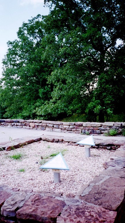
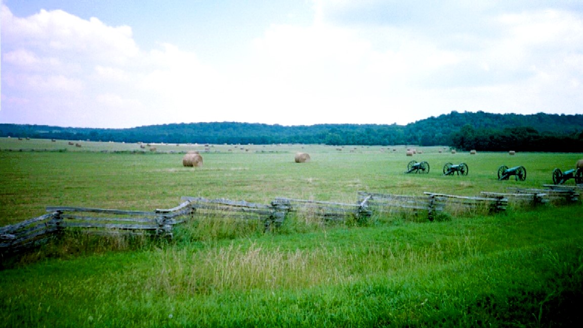
Stop 9: Tull's Missouri Battery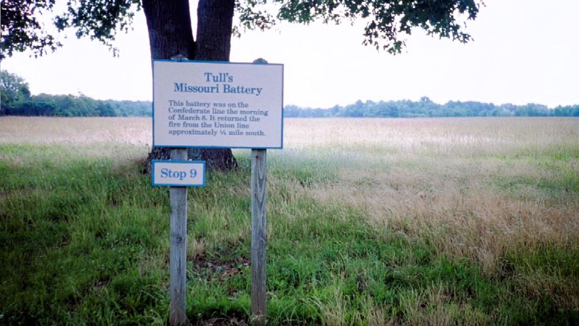 The guns here mark the Confederate battle line on the morning of March 8. From this position, Confederate batteries returned the fire from the Union line one-quarter mile to the south. |
|
Stop 10: Union Artillery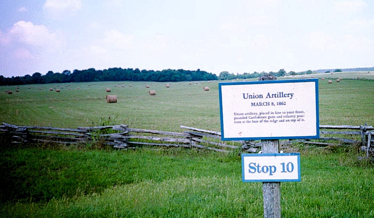 Union artillery deployed here on the morning of March 8. Their fire forced the Confederates to withdraw from the tavern area. The Federal line extended from present-day U.S. 62 to the south to beyond the bare open hill to the northwest. |
|